I took over 500 pictures over three days while there. I've condensed it down to 17 here for your pleasure.
The first picture here is from the airport, just having got off the plane. At 01.30. At night. And the sun was shining. It never dipped below the horizon while we were there.

In the morning, I woke up to this view from the hotel room. This is down the main street of Longyearbyen. The mountains are on the other side of Adventfjorden, which one of the fjord arms of Isfjorden.

This is one of the very strange beauties of Svalbard. This mountain is on the western side of Longyearbyen. Longyearbyen was first made as a coal mining town, and you can see along the mountainside an old cableway for coal transport. The wooden tower thing in front there is part of another coal transport cableway that goes several kilometers into the valley to other mines.

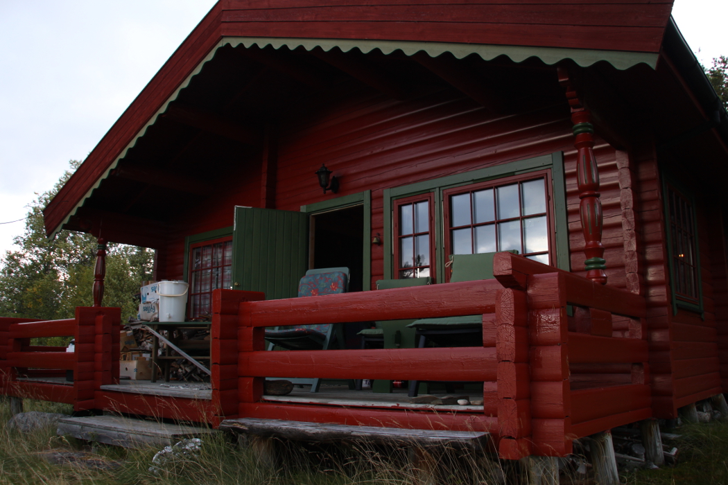
I found this mounted polar bear inside a bar/restaurant! Quite amusing!


Here, I am standing on the shores where Adventfjorden meets Isfjorden. Across Isfjorden you can see several enormous glaciers.

On the mountainside next to the airport and into the mountain, they have built the Global Seed Vault. In here they store seeds of a staggering amount of various plants from all over the world. Because of how far north svalbard is, the ground is in permafrost, making the mountain halls very cold and thus useful for freezing and storing such seeds without the need for using lots of energy to cool it down. This is just the entrance.

In this picture you can see a part of Longyearbyen and further in Adventdalen (the Advent Valley). On the right hand side of the picture, you can see the place where all the old cableways for the coal transport met. From here they were transported to the harbour and onto ships. You can also see the old cableway going out of the complex even having some wagons on it still. It's not in use anymore, of course.

I needed a selfie, of course, when I found this road sign. Very appropriate! The sign says "applies to all of Svalbard".

At the end of the road that goes into Adventdalen, there is Mine 7. This is the only mine still in use near Longyearbyen and probably the last mine to be made here. This is looking north-west towards Longyearbyen and you can see one of the large glaciers across Isfjorden in the distance. As you also may notice, there are not trees on Svalbard. And there is very little vegetation, especially when you get up more than few meters above sea level. Disregarding the water, the landscape as a somewhat Martian look about it. And indeed, scientists have tested Mars equiment on Svalbard.
On the right hand side of the picture, you can see one of two radio telescopes that are, from what I understand, used to monitor the Earth's magnetic field. Svalbard is also ideal for these kind of things due to low amounts of interference from man-made radio signals. These two dishes operate on frequenzy band that is usually occupied by television broadcasting.

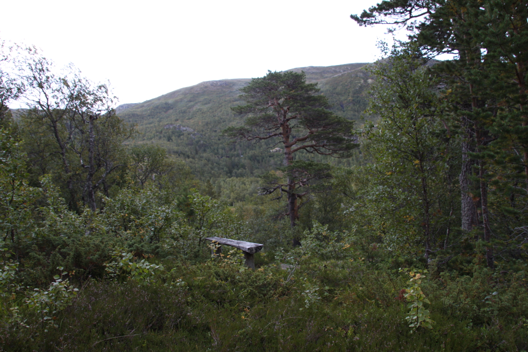
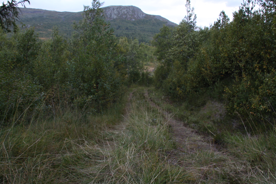
This picture is looking further into Adventdalen, where there are no roads, no buildings, nothing. In winter, you can go on snowmobile safaris and maybe encounter polar bears, but for the most part, this valley leads to a whole lot of entirely untouched wilderness. Beautiful.

At the airport, when we were leaving again, I found this fascinating sign at the entrance.

This is from the plane. As we had good weather that day, the captain decided to make a slow ascent out of Svalbard so people could get nice view. This is of course taken through the plane window, so it's a bit blurry. But that little town down there is Barentsburg, a Russian coal mining town.

Just to give you an idea of how vast Svalbard's untouched wilderness is. This picture by no means gives it justice at all, as what you see here is but a tiny fraction of Svalbard. And everything you see in this picture is wilderness. In the bottom of the picture you can see clearly how the glaciers move. The black lines in the glacier I think actually is rock formed by the glaciers slow movement to make smooth lines.

This is the southernmost tip of Svalbard.

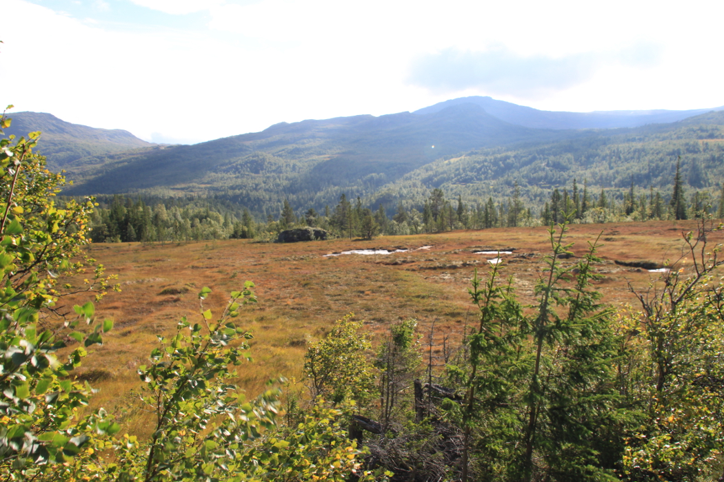
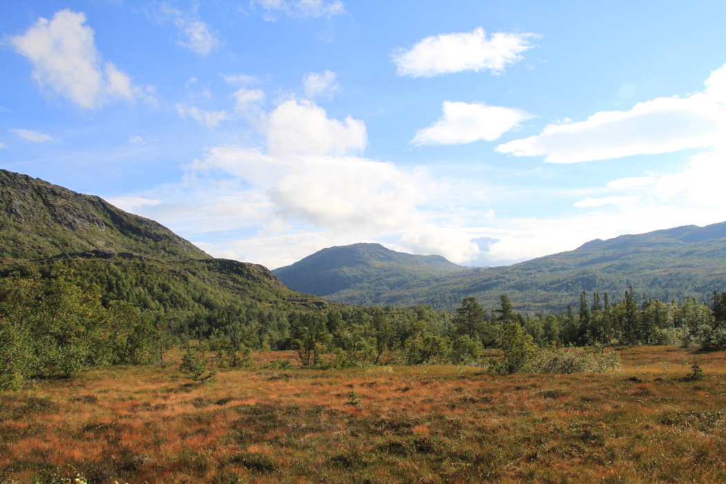
This is over mainland Norway, just north of the city of Tromsø where we landed, deplaned, went through passport control (because Svalbard is outside the Schengen area, despite being Norwegian), then got on the plane again. Svalbard is beautiful, but so is our mainland.

And the last picture is of the city of Tromsø as we left the airport there.